About Garhwal :
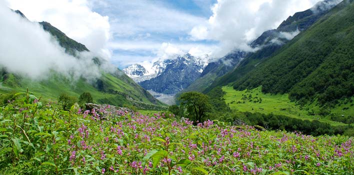
Garhwal valley possess stunning perfection in terms of natural beauty. Surrounded by snowy, cloud bedecked mountains, the valley stands sharply against the blue sky, the waterfalls flashing white against the mountainsides. As far as the eye can see, down the length of the valley, up the lower mountain slopes, there are flowers and flowers, and still more flowers. More than a thousand Himalayan varieties of flowers, ferns and herbs are massed in the valley in all their frail beauty and scented sweetness.
The Garhwal Himalayas area is remote and mountainous, filled with oak forests and alpine meadows. The forests are home to a number of endangered animal species and have historically been managed by local community institutions. In recent years, however, overgrazing and overharvesting in government-controlled forestlands has begun to threaten the area’s biodiversity. The districts of Garhwal are Dehradun, Haridwar, Tehri, Rudraprayag, Uttarkashi, Chamoli and Pauri.
Districts in Garhwal
Chamoli :
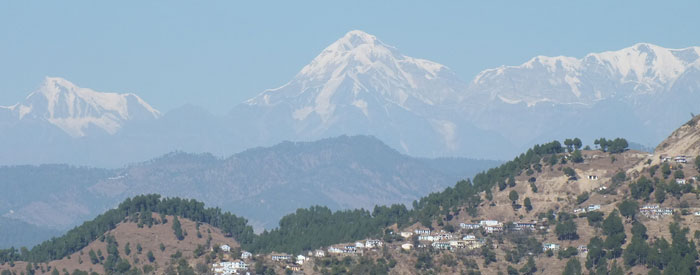
A blessed spot, the place seems to have been particularly dear to Lord Shiva. There are hundreds of shrines dedicated to Lord Shiva, the most important of all being the shrine of Badrinath. During monsoons, a thousand brilliant blooms bursts forth in the fascinating “Valley of flowers”. Know More
Dehradun :
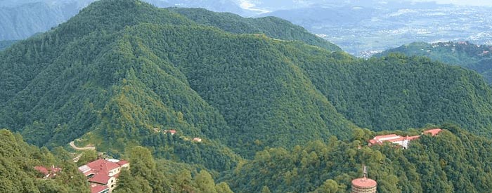
Dehra Dun lies in a wooded valley with the Himalayan ranges to the north, the Shivalike hills to the south and the rivers Ganga and Yamuna to its eastern and Western Flanks. From Dehradun places of religious importance in the Garhwal Hills can be accessed – Kedarnath, Badrinath Gangotri, Yamunotir, Hemkund Sahib etc. Know More
Haridwar :
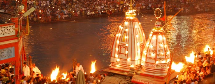
It is said that when the Gods left their footprints on the land of Haridwar. Haridwar stands as the gateway to the four pilgrimages of Garhwal. Mentioned as Mayapuri, Gangadwar, Mokshadwar in the ancient scriptures and epics, Haridwar has always remained as a major Shaktipeeth for the devotees. Know More
Pauri Garhwal :
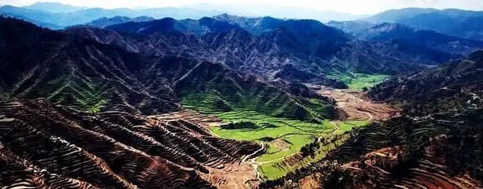
The Land of Pauri Garhwal is blessed with splendid view of snow-bound peaks of Himalayas, scenic valleys & surround ings, meandering rivers, dense forests and hospitable people with a rich culture. Diverse in topography, the district of Pauri Garhwal varies from the foothills of the ‘Bhabar’ areas of Kotdwara to the soul-lifting meadows of Dhudatoli, sprawling at an altitude of 3,000 meters. Which remains snow-bound during the winter months. Know More
Rudraprayag :
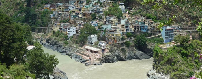
Named after Lord Shiva, Rudraprayag is situated at the holy confluence of Alaknanda and Mandakini rivers, at a distance of 34 kms. from Srinagar (Garhwal). The presence of two separate routes for Badrinath and Kedarnath Dham from Rudraprayag render great importance to the place. The entire region is blessed with immense natural beauty, places of religious importance, lakes & glaciers. Know More
Tehri Garhwal :
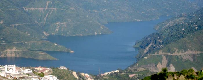
Tehri Garhwal is one of the western most district of the Uttarakhand State, located on the outer ranges of the mid Himalayas which comprise low line peaks rising contiguously with the planes of the northern India. The district lies between the parallels of 30.3` and 30.53` north latitude and 77.56` and 79.04` east longitude. Uttarkashi from the north, Rudraprayag from the east, Puri Garhwal from the south and Dehra Dun from the west are bounding the districts. On the western front Yamuna river separates it from Jaunsar Pragana of the Dehra Dun district while Bhagirathi rising from the north of the Gangotri in the district Uttarkashi touches the district near village Nagun. Total area of the district is 4421 sq. kms (Census 1991) . The district headquarter is located at New Tehri Town since 1.4.1989, Earlier Narendranagar was the district headquarter. Know More
Uttarkashi :
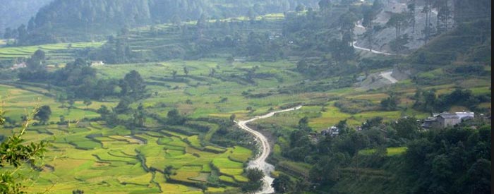
Uttarkashi district was created on February 24, 1960. It iles in the extreme north-west corner of the state over an area of 8016 sq. kms. in the rugged terrain of the mystic Himalayas. On its north lie Himachal Pradesh State and the territory of Tibet and the district of Chamoli in the east. The district is named after its headquarters town Uttarkashi, an ancient place with rich cultural heritage and as the name suggests is the Kashi of north (Uttara) held almost as high a veneration as Kashi of the plain (Varanasi). Both the Kashi of the plain (Varanasi) as well as the Kashi of north are situated on the banks of the river Ganga (Bhagirathi). The area which is held sacred and known as Uttarkashi, lies between the rivers Syalam Gad also known as the Varuna and Kaligad also known as the Asi. The Varuna and the Asi are also the names of the rivers between which the Kashi of the plain lies. One of the holiest Ghats in Uttarkashi is Manikarnika so is the one by the same name in Varanasi. Both have temples dedicated to Vishwanath. Know More

