UttaraPedia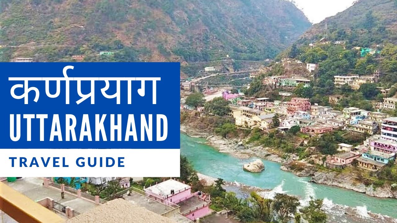
Panch Prayag becomes easier to understand when you stop treating it as a list of unrelated towns. Follow the Alaknanda downstream and the five names form a sequence. At each place another river meets it; at the final meeting, the combined river is known as the Ganga. This is a geographical way to read the names, alongside their religious significance.
Follow one river, add one name at a time
The downstream sequence is Vishnuprayag, Nandprayag, Karnaprayag, Rudraprayag and Devprayag. The matching river pairs are Alaknanda–Dhauliganga, Alaknanda–Nandakini, Alaknanda–Pindar, Alaknanda–Mandakini and Alaknanda–Bhagirathi. At Devprayag the combined flow takes the name Ganga. Write the main river once on a page, then add the five incoming rivers beside their meeting places. The pattern is easier to retain than five separate definitions.
River order is not automatically your travel order
A visitor approaching the upper valley from the Rishikesh side encounters the sequence in the opposite direction. Someone joining from another valley may enter midway. When discussing an itinerary, say whether you mean downstream order or the order in which you will drive. That small distinction prevents a surprisingly common misunderstanding between a map, a guide and a travel plan.
The river diagram also does not tell you where to park or how to reach a viewing point. A confluence may be visible from a road or bridge while its access path starts elsewhere. Find an authorised stopping place and ask about the current approach instead of trying to stop at the point nearest the water on your screen.
Look for the meeting, not a guaranteed colour contrast
Photographs sometimes show two strikingly different colours where rivers meet. Treat that as the appearance of a particular moment. Light, sediment and water conditions can make a later scene look different. You can still recognise a confluence by tracing the two channels and watching where their flows join. A dramatic colour boundary is not a requirement for the geography to be interesting.
Use a simple observation note
Record the place name, the two rivers, the direction in which you were looking and where the photograph was taken. Add the date if you plan to share it. These details turn an attractive image into a useful record and help prevent the wrong river name appearing in a caption.
Respect barriers and local directions. A riverside stairway is not evidence that reaching the water is appropriate in every condition. From a permitted viewpoint, the five Prayags offer a clear lesson: a river system is assembled through connected valleys, and a familiar town name can also describe one of those connections.
Sources and further reading
River geography — Chamoli district · River system — Rudraprayag district · Devprayag — Uttarakhand Tourism
Read also: Kumaon and Garhwal: the regional map